Håre Mose og Håre Bjerge
5.2 km, approx. 1½ hours
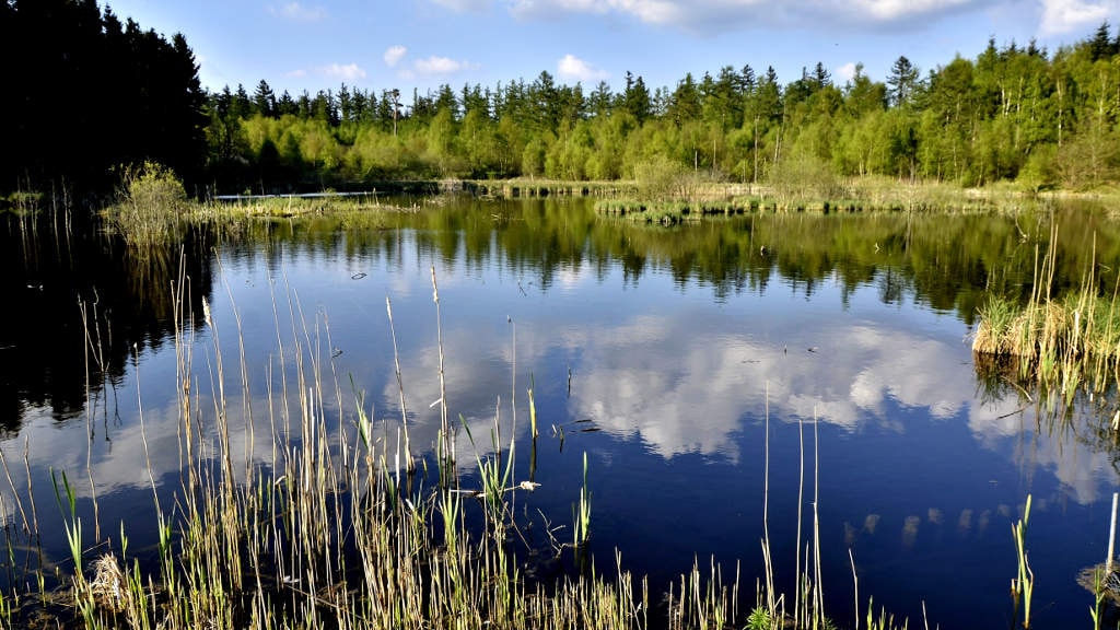
The route goes through a disused gravel pit with small lakes and a restored bog on nutrient-poor soil.
Photo: Dorthe Thrane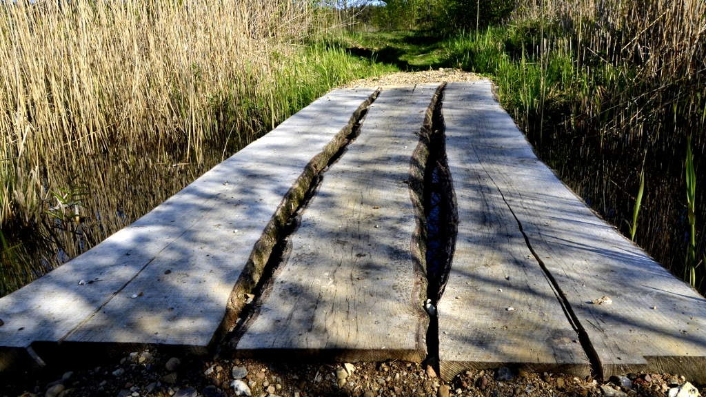
About the route
Near Gelsted lies Håre Mose, where a disused gravel pit with small lakes meets a restored bog on nutrient-poor soil. A 2 km path takes you through the area, and extending the walk to Håre Bjerge makes it 5 km through hilly West Funen landscape.
Two things to look out for
Nine protected round barrowsand a road culvertSurvey map 1842–1899
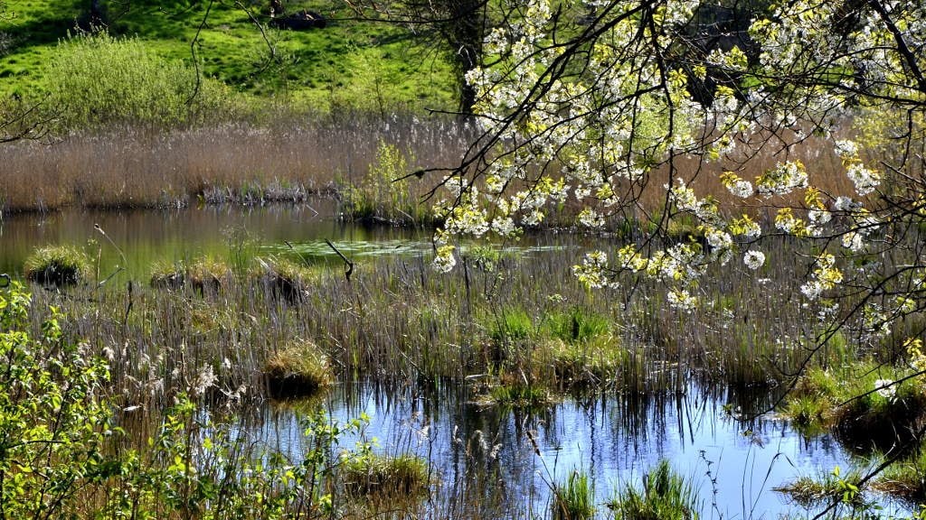 Bog356 m through bog, in the conservation area Wedellsborg Banker, 648 m along protected earth banks
What you can find in autumn
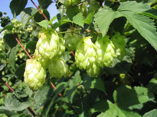
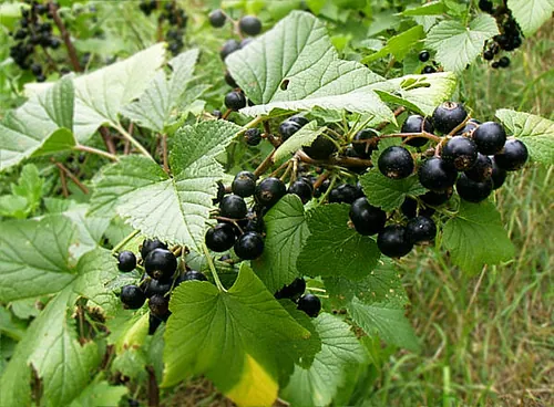
Photos: No machine-readable author provided. Hagen Graebner assumed (based on copyright claims)., Wikimedia Commons, CC BY-SA 2.5; unknown, Wikimedia Commons, Public domain.
What the path sometimes sounds like
The birds are here. The recordings were made elsewhere.
Recordings from Wikimedia Commons: Common raven, see recordist (CC BY-SA 4.0); Common buzzard, Benoît Van Hecke (CC BY-SA 4.0); Eurasian jay, Vladimir Yu. Arkhipov, Arkhivov (CC BY-SA 3.0); Mallard, Jonathon Jongsma (CC BY-SA 3.0); Great spotted woodpecker, Sander Pieterse (CC BY-SA 4.0).
startplace along the routeprotected monument
Protected ancient monuments9 round barrows, 1 road culvert ›
- Road culvertRoad culvertby the route
- Round barrowRound barrow, prehistoricby the route
- Round barrowRound barrow, prehistoricby the route
- Round barrowRound barrow, prehistoric40 m from the route
- Round barrowRound barrow, prehistoric53 m from the route
- Round barrowRound barrow, prehistoric62 m from the route
- Round barrowRound barrow, prehistoric120 m from the route
- Round barrowRound barrow, prehistoric141 m from the route
- Round barrowRound barrow, prehistoric183 m from the route
- Round barrowRound barrow, prehistoric248 m from the route
Along the routeone place ›
- Håre MarshNature, by the route. Håre Mose near Gelsted was shaped by the Ice Age.
What you walk throughbog, conservation area, earth bank ›
The route runs 356 m through bog, in the conservation area Wedellsborg Banker, 648 m along protected earth banks.
What is bog?