Klakkebjerg and Brænde Ådal
4.8 km, approx. 1 hour
 Autumn
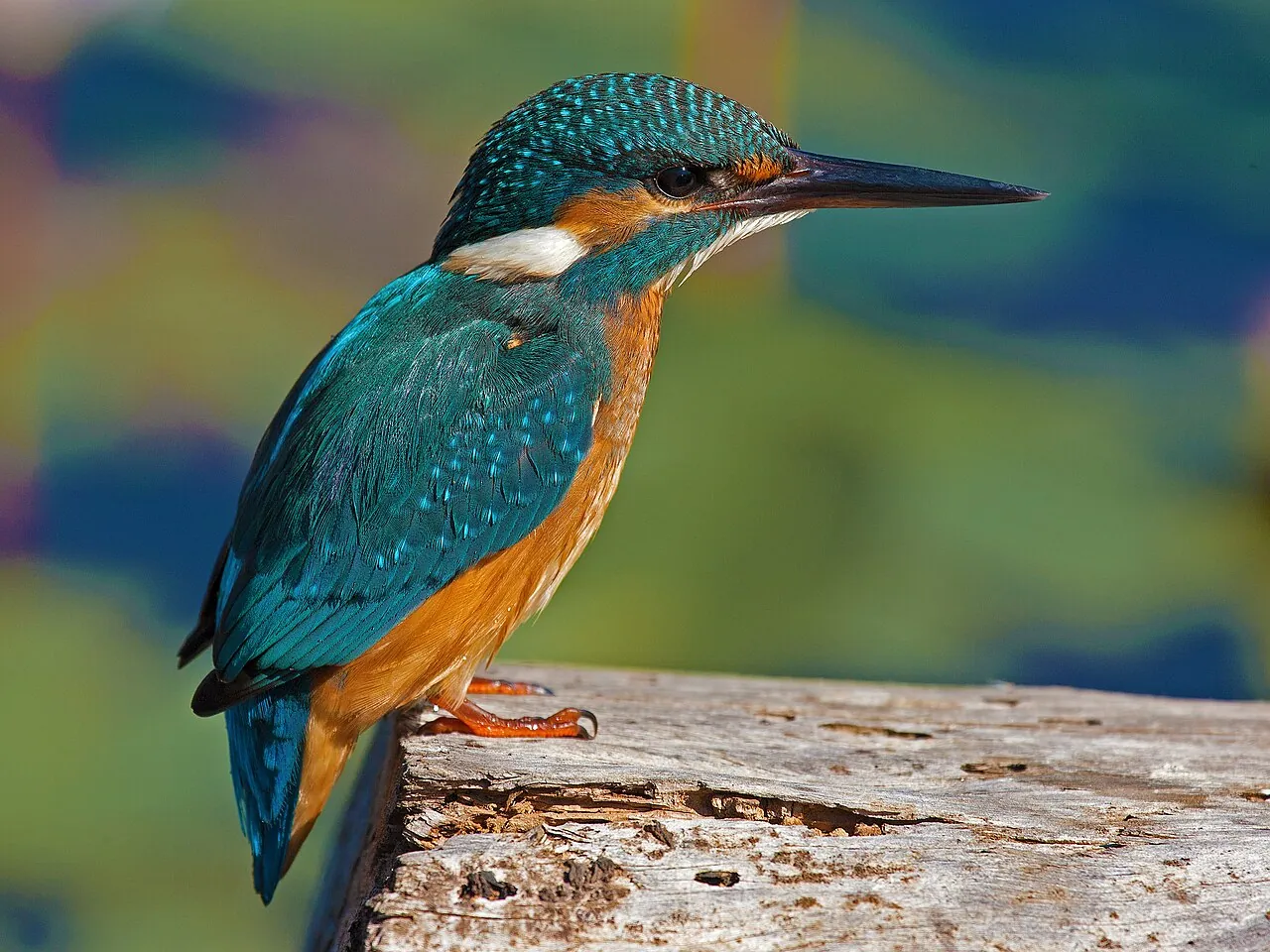
Keep an eye out for the kingfisher over the stream – a flash of blue and orange that plunges towards the water and is gone again.
More about the kingfisher ›Photo: Artemy Voikhansky, Wikimedia Commons, CC BY-SA 4.0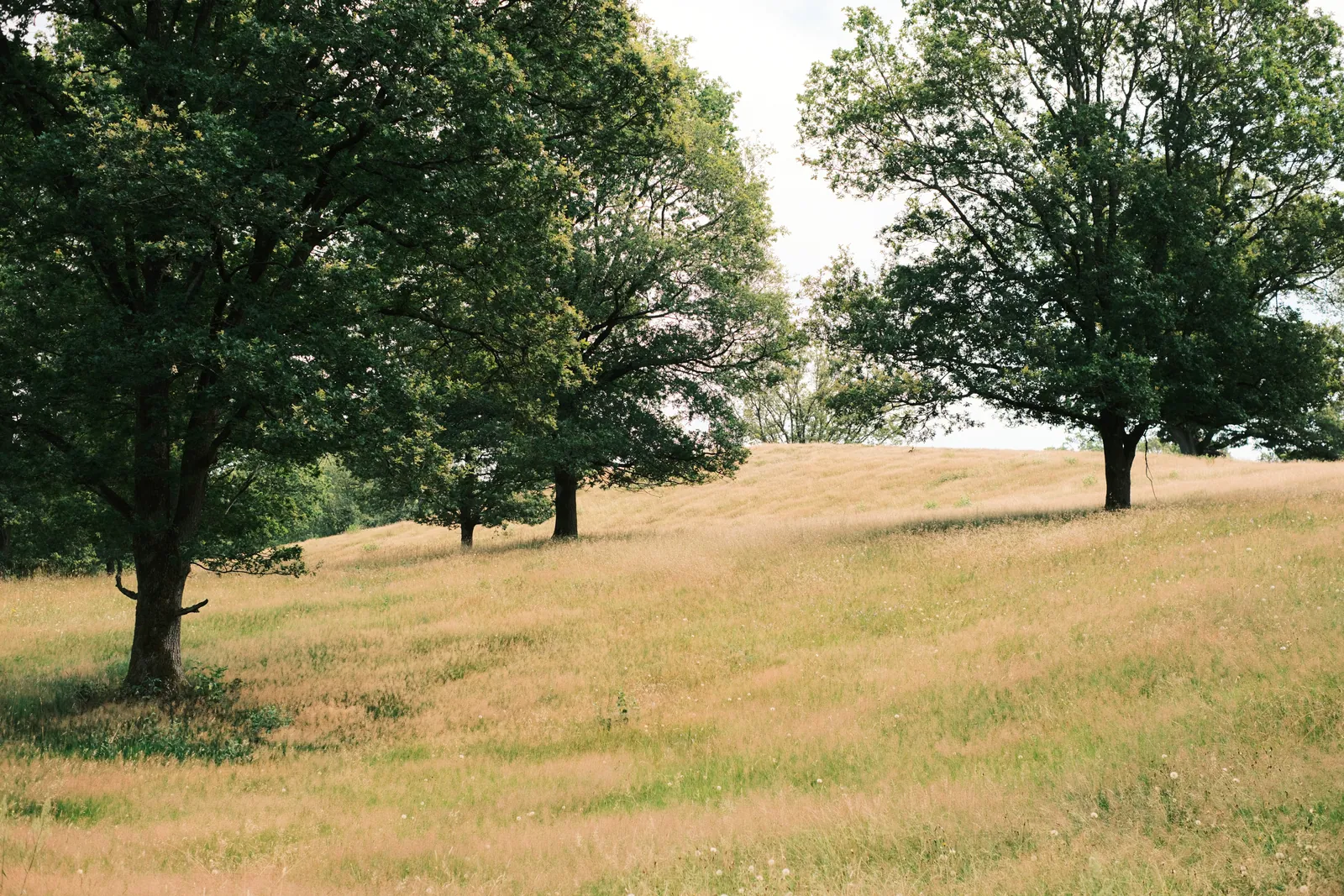
Brænde Å has cut 20 metres down into the landscape, and at Klakkebjerg heather grows, which is otherwise rare on Funen.
About the route
The river winds quietly through the valley. The water is clear, the gradient steep, and on a sunny day you might catch a glimpse of the kingfisher – a flash of blue and orange diving toward the surface and vanishing again. That's the kind of moment Brænde Ådal is made of.
Two things to look out for
A legend stoneThe Troll Stone (Troldestenen): A troll threw it at the tower of Kerte Kirke and missed, the legend says. In 1940 a crayfish fisherman found a Stone Age flint axe in the bank close by.Survey map 1842–1899
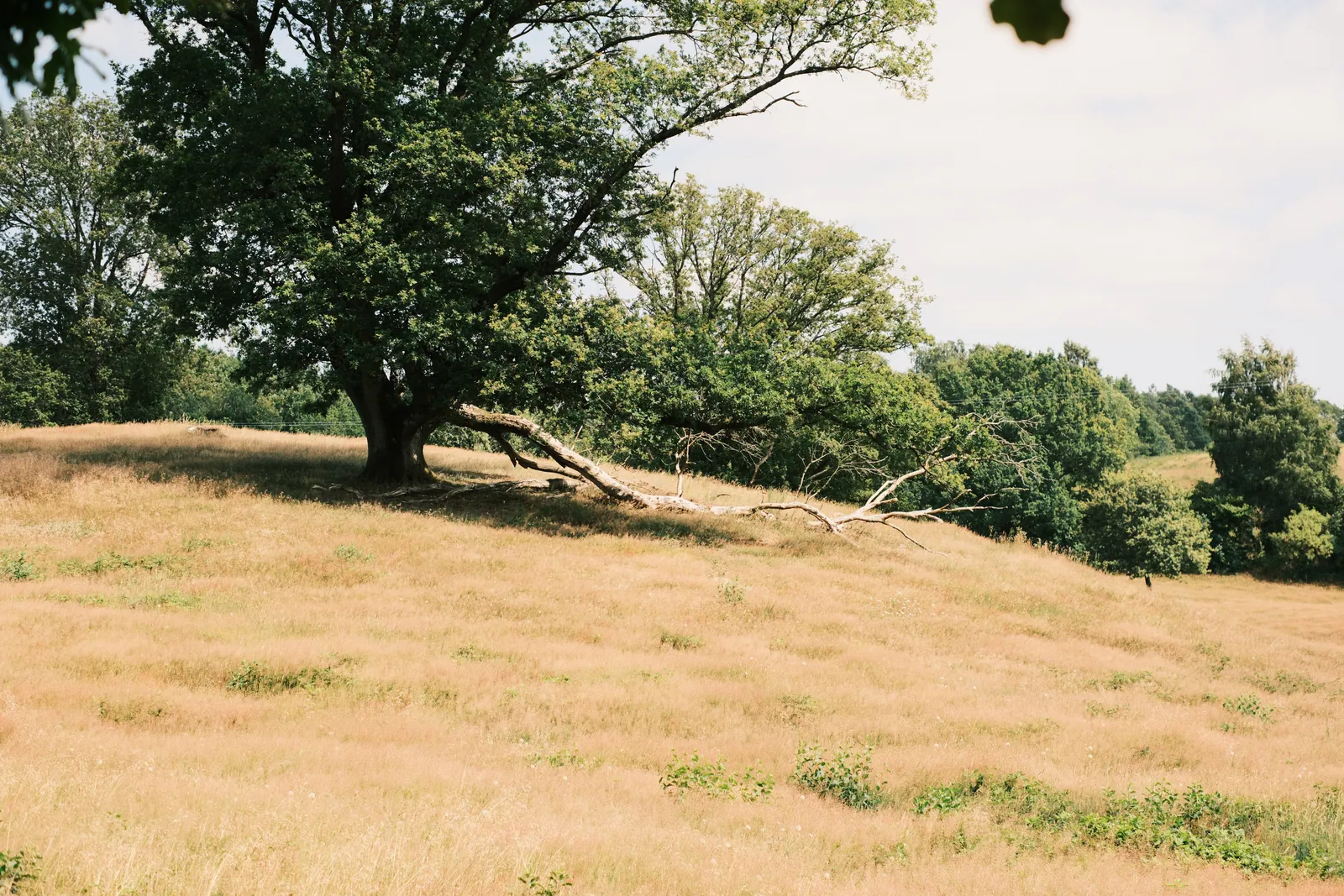 Dry grassland and bog1.6 km through dry grassland, 327 m of bog and 145 m of meadow
What you can find in autumn
Photos: H. Zell, Wikimedia Commons, CC BY-SA 3.0.
What the path sometimes sounds like
The birds are here. The recordings were made elsewhere.
Recordings from Wikimedia Commons: Kingfisher, Marie-Lan Taÿ Pamart (CC BY-SA 4.0); Jay, Vladimir Yu. Arkhipov, Arkhivov (CC BY-SA 3.0); Great tit, see recordist (CC BY-SA 4.0); Great spotted woodpecker, Sander Pieterse (CC BY-SA 4.0); Buzzard, Benoît Van Hecke (CC BY-SA 4.0).
startplace along the routeancient monument
Along the route
 KlakkebjergHilly woodland with paths, timber bridges over Brænde Å and heather slopes – a rope helps you up the steepest hill.
Ancient monuments1 legend stone ›
- The Troll Stone (Troldestenen)Legend stoneA troll threw it at the tower of Kerte Kirke and missed, the legend says. In 1940 a crayfish fisherman found a Stone Age flint axe in the bank close by.by the route
Along the routeone place ›
- KlakkebjergNature, by the route. Hilly woodland with paths, timber bridges over Brænde Å and heather slopes – a rope helps you up the steepest hill.
What you walk throughdry grassland, bog, meadow ›
The route runs 1.6 km through dry grassland, 327 m of bog and 145 m of meadow.
What is dry grassland, bog and meadow?