Røjle Klint
1.1 km, approx. 20 min
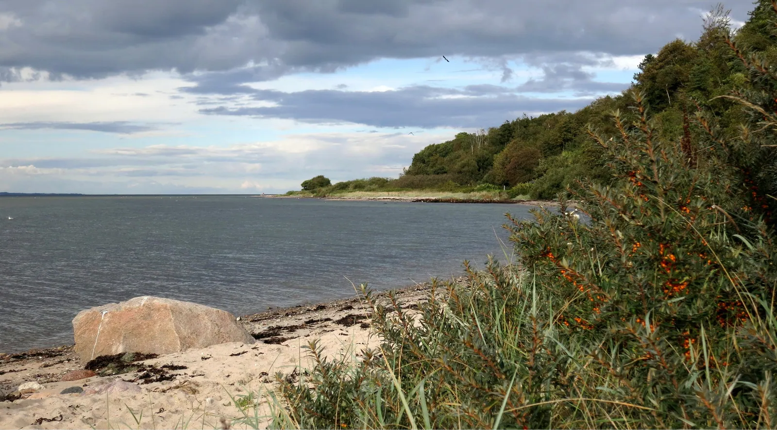
The cliff rises up to 45 metres above the Little Belt and shows layer upon layer of moraine clay, meltwater sand and black volcanic ash.
Photo: Niels Martner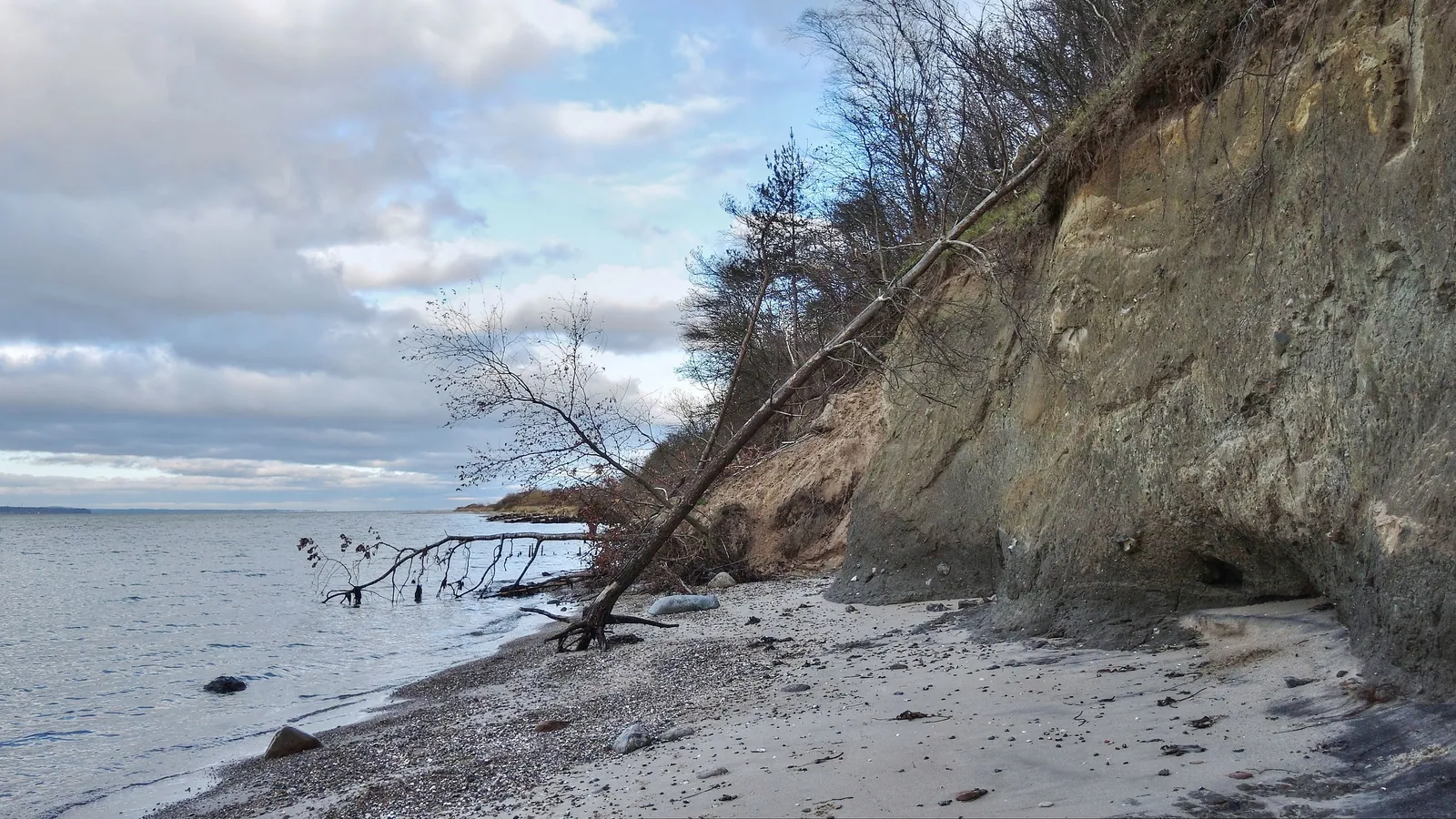
About the route
Northeast of Middelfart, Røjle Klint rises up to 40 metres above the Lillebælt. Here, millions of years of geology lie exposed in the cliff face, and the coast is still shifting, as it has since the Ice Ages.
One thing to look out for
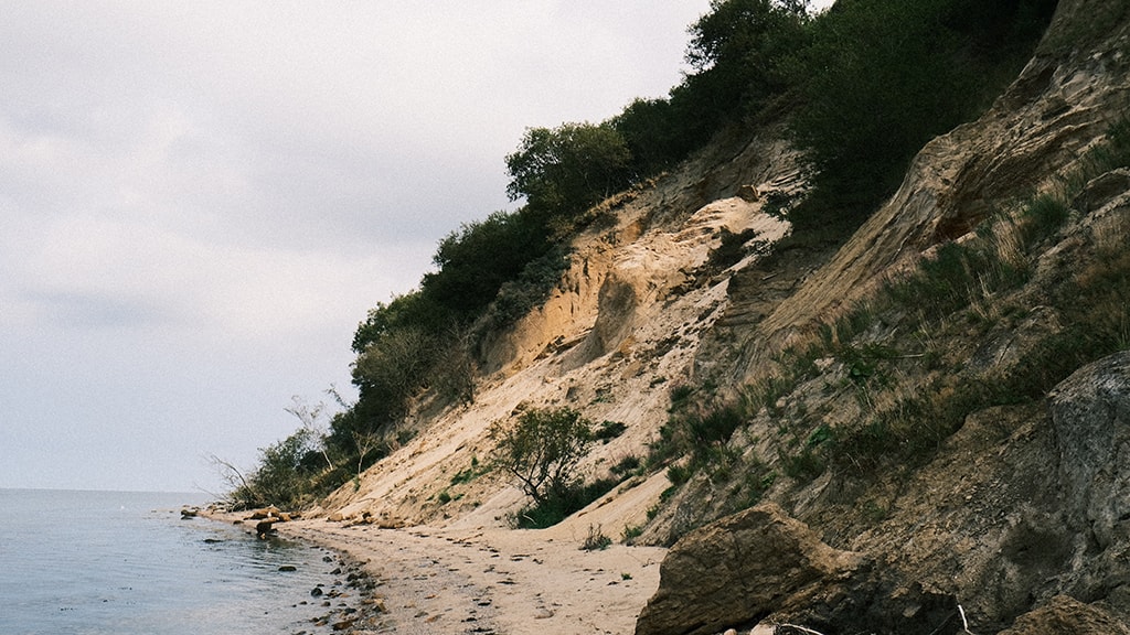 Dry grassland and meadow340 m through dry grassland, 68 m of meadow and 68 m of salt meadow, in the conservation area Røjle Klint, in the Natura 2000 site Røjle Klint og Kasmose skov, 408 m along protected earth banks
What you can find in autumn
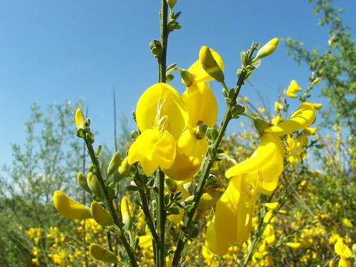
Photos: Willow, Wikimedia Commons, CC BY 2.5.
What the path sometimes sounds like
The birds are here. The recordings were made elsewhere.
Recordings from Wikimedia Commons: Common buzzard, Benoît Van Hecke (CC BY-SA 4.0); Hooded crow, Qypchak (CC BY-SA 4.0); Common chiffchaff, see recordist (CC BY-SA 4.0); Great tit, see recordist (CC BY-SA 4.0); Sandwich tern, see recordist (CC BY-SA 4.0).
startplace along the route
Along the routeone place ›
- Røjle KlintNature, 34 m from the route. There are picnic benches at the 37-metre-high vantage point and at the car park.
What you walk throughdry grassland, meadow, salt meadow ›
The route runs 340 m through dry grassland, 68 m of meadow and 68 m of salt meadow, in the conservation area Røjle Klint, in the Natura 2000 site Røjle Klint og Kasmose skov, 408 m along protected earth banks.
What is dry grassland, meadow, salt meadow and Natura 2000?